Navigation and map reading course
As a hiking business, we are exempt from the rule of 6, By signing up to our event you are agreeing to our COVID 19 guidelines as outlined here:
https://docs.google.com/document/d/1Sly8wbiT3VabjhkDjX_f6AFFG2pcoU-e5sK0OPjSy74/edit?usp=sharing
Learn to map read with GO London
Develop your navigation skills and take your adventure to the next level. Our fun and friendly course will teach you how to use maps, following tracks and footpaths, easy to remember compass skills giving you the skills to head into the British countryside with confidence.
Cost : £55pp 1:8 instructor ratio
MEETING: 09:40 Tring Station Ticket Office
LUNCH: Pack lunch
FINISH TIME: 17:00 Tring Station
Meeting up at Tring Station, the course takes place in the Chiltern Hills an ideal location to learn the basics of map reading.
There is a train at 08:55 from Euston which arrives in Tring for 09:29.
The return train will be at 17:15
We will cover the following skills:-
1. Understand the nature of a map as a two-dimensional plan.
2. Understand how to use map symbols and scales, on a variety of maps.
3. Orientate the map with and without a compass.
4. Use the orientated map to identify land features and indicate the direction of travel.
5. Choose simple navigation strategies and routes.
6. Use linear features (e.g. paths and tracks) as handrails in simple navigation exercises.
7. Estimate distance on both map and ground.
8. Using a basic understanding of contours, match major landforms like hills and valleys to their map representation.
9. Plan a safe, suitable walk.
10. Relocate using simple techniques on paths and other handrails.
If you wish to do some pre-study you can find some useful information by following the link:-
https://getoutside.ordnancesurvey.co.uk/guides/beginners-guides-map-reading/
Recommended books:-
https://www.ordnancesurvey.co.uk/docs/leaflets/map-reading.pdf Free PDF worth bringing along.
The ultimate navigation manual by Lyle Brotherton ISBN 978-0-00-742460-3
Navigation for walkers ISBN 9781871890549
Navigation in the mountains ISBN 978-0-9541511-5-7
Maps are provided but we recommend you bring your own you will need:-
OS Explorer Map 1:25 000 Chiltern Hills North sheet 181
You will need to bring:- Face covering, Sanitiser, pencil and paper
pack lunch, snacks, water, Suitable warm and waterproof outdoor clothes, Walking boots or other suitable walking shoes
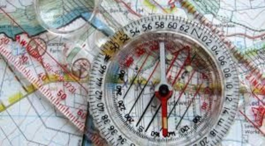
base plate compass. Recommended makes Silva, Recta, Suunto,
http://www.gooutdoors.co.uk/silva-ranger-compass-p194176 (recommended)
Cheap options are available
http://www.sportsdirect.com/karrimor-compass-785005?colcode=78500590
if you go for this option please make sure that the needle remains stable in the compass.
Tring Station Car Park
Station Road
Hertfordshire, GB